Expedition Thread 01 · Scenic Hikes & Mountains
Footpaths to remember
Ask any long-distance walker what remains vivid five years after a mountain traverse, and they will rarely cite the summit selfie. They remember the smell of wet larch needles after an afternoon squall in the Dolomites, the warmth of a cast-iron drying room in a Swedish fell station, or the moment a wall of mist parted above the Cuillin Ridge on the Isle of Skye.
To reach those moments unhurried and uninjured, a walker must pair poetic ambition with sober route arithmetic: vertical gain per hour, daylight reserves, water sources, and escape valleys.
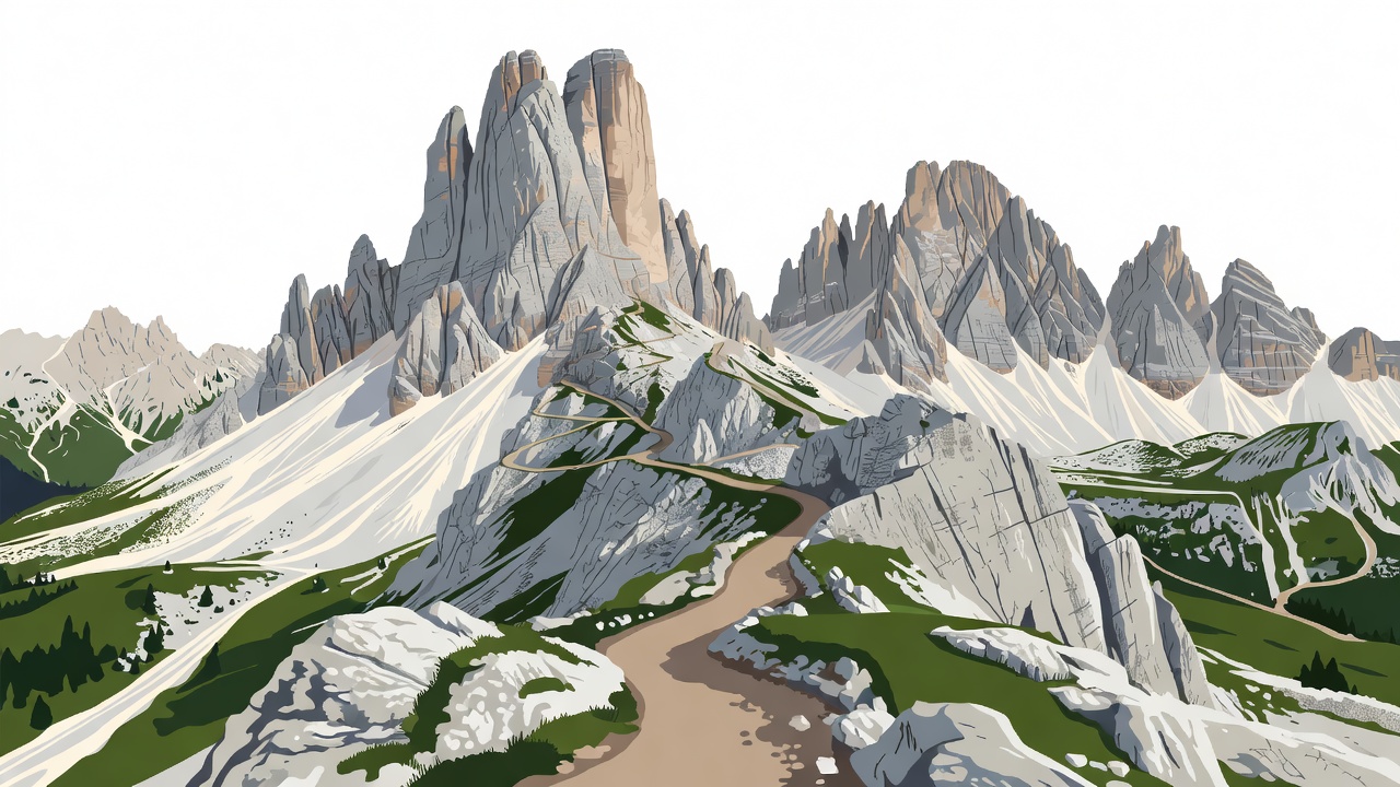
Vector contour scene: Dolomite pale limestone passes along the Alta Via 1 corridor between Rifugio Lagazuoi and Rifugio Nuvolau.
Comparative Dossier
Five Benchmark Mountain Footpaths
Before selecting a mountain route, compare how shelter systems and daily elevation profiles shape the rhythm of your day. Hut-to-hut routes in the Alps or Scandinavia allow a 9–11 kg rucksack with a silk liner, whereas Tasmanian or Patagonian traverses require carrying a four-season tent, stove, and six days of dehydrated rations (typically 15–18 kg).
| Route & Region | Distance | Typical Duration | Shelter System | Prime Season Window |
|---|---|---|---|---|
| Alta Via 1 (Dolomites, Italy) | 120 km | 8–10 days | Staffed Alpine Rifugi (half-board) | Late June – Mid-September |
| Kungsleden North (Lapland, Sweden) | 110 km | 5–7 days | STF Mountain Cabins & wild camping | Mid-July – Mid-September |
| Laugavegur Trail (Highlands, Iceland) | 54 km | 4 days | FÍ Highland Huts or designated camp | July – Early September |
| Overland Track (Tasmania, Australia) | 65 km | 6 days | Unstaffed huts & timber tent platforms | November – April |
| Cape Wrath Trail (Northwest Scotland) | 370 km | 18–22 days | MBA Bothies, wild camp & village inns | May or September (low midge) |
Case Study · Northern Scandinavia
Padjelantaleden and the Quiet Side of Lapland
Travellers drawn to the Arctic birch forests and U-shaped valleys of northern Sweden often default to the Abisko–Kebnekaise corridor. Yet just west of Sarek National Park runs the 160 km Padjelantaleden between Kvikkjokk and Ritsem. Here, wooden suspension bridges cross foaming meltwater rivers, and small cabins managed by the local Sámi villages (through Badjelánnda Laponia Turism) offer warmth and fresh-caught Arctic char.
Walking Padjelantaleden in late August or early September rewards you with frost-brightened dwarf birch carpeting the valleys in crimson and gold, virtually zero mosquitoes, and long stretches where the only sound is golden plover calls across the tundra.
Logged 14 autumn traverses across Laponia and the West Highland Way since 2014.
Safety & Stewardship
Mountain Ethics vs. Access Logistics
Keeping mountain landscapes intact requires separating how we move through fragile high-altitude ecosystems from how we organize transport and shelter.
High-Country Ecological Care
- Pack out every scrap of micro-litter, including fruit peels and tea bags, which take years to decompose in cold alpine soils.
- Wash dishes and yourself at least 50 metres away from tarns and glacial streams, using zero soap or only tiny drops of unscented biodegradable wash.
- In Scottish bothies (maintained by the Mountain Bothies Association), leave no food behind, sweep the flagstones, and carry out all ash or fuel canisters.
Trailhead & Hut Logistics
- Bring cash (Euros in Alpine Rifugi, SEK or card in STF huts where satellite links work) as storm clouds frequently interrupt mountain payment terminals.
- Verify public bus links for point-to-point hikes—such as the Cortina Express in the Dolomites or Reykjavik Excursions highland coaches to Landmannalaugar.
- Break in ankle-supporting footwear over at least 80 km of steep local hills with a weighted pack before boarding your outward train or flight.