Expedition Thread 02 · Island Escapes

Beyond the ferry landing

There is a distinct shift in posture when the stern ramp of an island ferry lifts and the mainland slipway recedes into salt spray. On small islands, hurry loses its currency. A traveller who arrives hoping to tick off six stops in four hours quickly feels frustrated; a traveller who comes to walk an ancient post-road between two sea lochs and wait for the kettle to boil in a harbour café discovers a rare, expansive calm.

Our island roundups focus on archipelagos where foot paths, public mail boats, and tidal sands allow you to leave cars behind and travel at the pace of the coast.

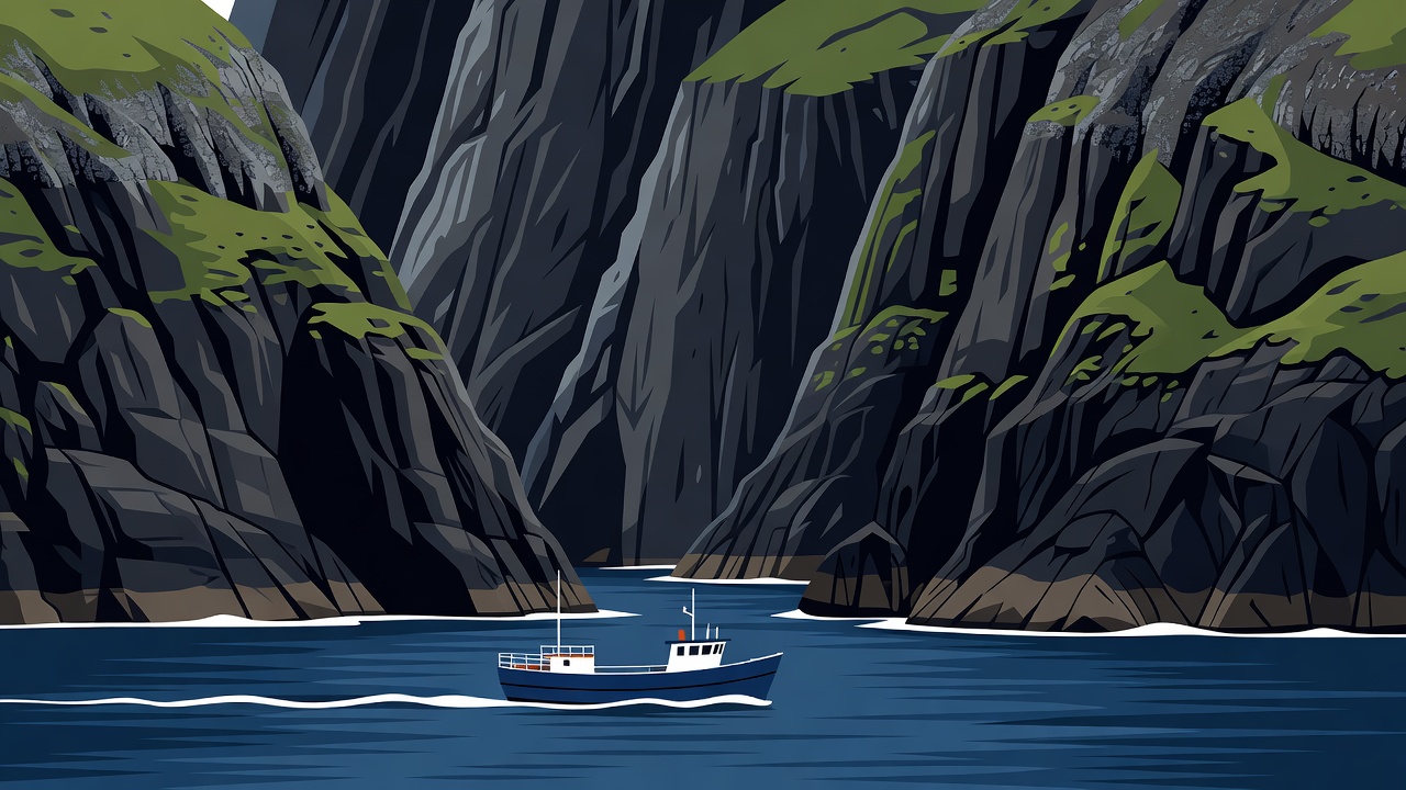
Flat vector illustration of steep basalt sea cliffs and a small passenger boat crossing a channel in the Faroe Islands.

Vector coastal chart: Sea-cliff footpaths and inter-island sound crossings modeled on Kalsoy and Suðuroy in the North Atlantic.

01

North Atlantic Footpaths

Walking the Cairn Paths of the Faroes and Hebrides

Long before asphalt tunnels were bored beneath the sounds of the Faroe Islands, villagers walked between settlements along bygdagøtur—paths marked through high mist by stone cairns spaced within sight of one another. Routes such as the walk from Gásadalur over the ridge to Bøur, or the crossing from Tjørnuvík to Saksun on Streymoy, let you experience steep emerald headlands where fulmars glide at eye level.

Further south in the Outer Hebrides, the western fringe of South Uist and Benbecula is bordered by machair—one of Europe's rarest habitats, formed where gale-blown crushed shell sand mixes with peat to create a lime-rich coastal meadow. In June and July, the machair blooms with northern marsh orchids, yellow rattle, and lady's bedstraw, while corncrakes call from the iris beds.

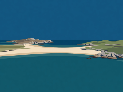
Flat vector scene of a tidal sand strand between Colonsay and Oronsay at low water. Tidal Crossings

Colonsay to Oronsay across The Strand

For roughly three hours around low tide, a 1.6 km wet sand flat opens between Colonsay and Oronsay in the Inner Hebrides, leading to a 14th-century priory and grey seal haul-outs.

See coastal seal viewing rules →
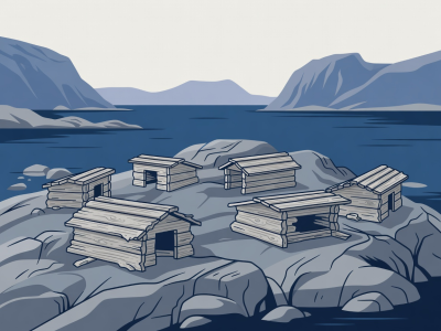
Flat vector scene of driftwood eider duck shelters on a low granite skerry in Norway. Nordland Coast

Cycling & Kayaking Vega, Norway

Reached by express passenger boat from Brønnøysund, Vega's quiet ring roads and the wooden stairs up Vegatrappa offer panoramic views toward the Seven Sisters peaks.

Compare Nordic coastal routes →
02

Southern Hemisphere Shores

Chiloé and Maria Island: Foot Travel in Southern Waters

Off the coast of southern Chile, the Isla Grande de Chiloé feels worlds apart from the Andean spine across the Chacao Channel. In Parque Nacional Chiloé on the western Pacific coast, boardwalks wind through dense Valdivian temperate rainforest of tepú and arrayán trees before emerging onto wide dunes near Cucao. Further north around the Chepu River valley, quiet dawn paddles reveal sunken forests and ring-necked kingfishers.

Off Tasmania's east coast, Maria Island National Park operates entirely without private motor vehicles. A 30-minute passenger ferry from Triabunna drops walkers at Darlington, where convict-era sandstone commissariats stand below the dolerite columns of Bishop and Clerk (620 m) and the fossil cliffs overlooking Oyster Bay.

03

Maritime Preparation

Island Etiquette & Crossing Logistics

Community & Ground-Nesting Care

  • On crofting islands in Scotland and the Faroes, keep gates closed and never walk across enclosed hay or silage fields before harvest.
  • Observe mandatory hiking fees and local guide rules on sensitive Faroese islands like Mykines, where saturated turf erodes easily around puffin burrows.
  • Support island grocery stores and community-owned bunkhouses (such as Gatliff Hebridean Hostels Trust) so tourism revenue remains on the island.

Tide, Swell & Timetable Buffer

  • Always build a 24- to 48-hour weather buffer between an outer-island boat crossing and your international flight home.
  • For tidal causeways (Oronsay, Lindisfarne, Vallay), consult official hydrographic tide tables and add margin for onshore winds, which hold tides high longer.
  • Carry seasickness mitigation and dry-bags inside your rucksack; open Zodiac or small-launch transfers frequently take spray over the bow.